Cloud and mobile-first workflows powered by UAV, LiDAR, GNSS & Total Station — from field capture to CAD/GIS deliverables, faster than ever.
Modules that work together across the project lifecycle.
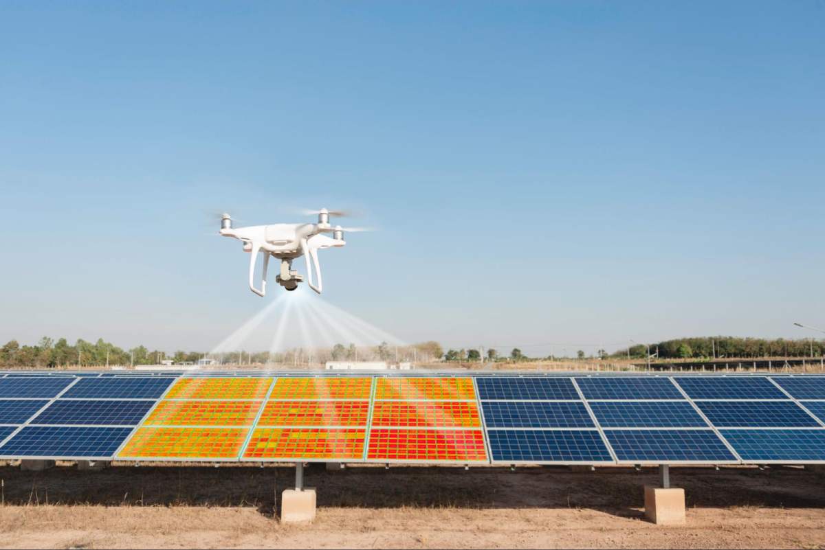
Hot-spots, PID & string issues with geo-tagged tickets and O&M reports.
Upload thermal rasters, classify defects, draw points/polygons, export GeoJSON.
Classified point clouds, DTM/DSM, contours, sections and volumes.
Progress tracking, change detection, defect analytics and dashboards.

GNSS/TS control & detail survey to CAD/GIS with QA/QC.
Built for every solar team.
Aligned with life-cycle stages.
Capture → Process → Map → Analyze → Deliver
We’re building a lean, high-impact team.
Email your CV to info@skyterraeye.com
SkyTerraEye is led by Mohammed Zubair Pasha (Senior GIS Project Manager, 10+ years) with end-to-end expertise in geospatial data engineering, LiDAR/photogrammetry, volumetric reporting and team leadership.
Address: Marina Square, Al Reem Island, Abu Dhabi
Phone: +971 50 309 1162
Email: info@skyterraeye.com
Marina Square, Al Reem Island, Abu Dhabi • +971 50 3091162 • zubair@skyterraeye.com • info@skyterraeye.com