Survey • Map • Analyze

A Unified Platform for Solar, Construction & Infrastructure

Cloud and mobile-first workflows powered by UAV, LiDAR, GNSS & Total Station — from field capture to CAD/GIS deliverables, faster than ever.

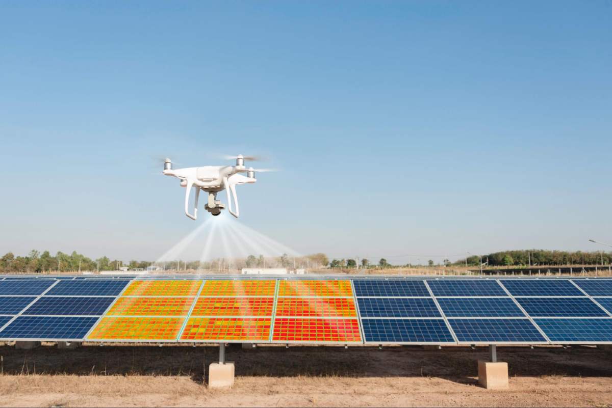
ReportingInventory Digital TwinPunch ListsThermography
Book a Demo

Products

Modules that work together across the project lifecycle.
2–5 cmTypical accuracy
24–72 hTurnaround
1000+ haScalable capture
DWG/SHPProduction deliverables

Solutions — Solar

Built for every solar team.

Solutions — Construction

Aligned with life-cycle stages.

Workflow

Capture → Process → Map → Analyze → Deliver

  1. Plan: flight plans, control network, safety & permits
  2. Capture: UAV RGB/LiDAR/Thermal + GNSS/TS checks
  3. Process: photogrammetry/LiDAR pipelines with QA
  4. Map: orthos, DTM/DSM, contours & breaklines
  5. Analyze: volumes, plan vs actual, defect tickets
  6. Deliver: DWG/DXF/SHP, PDFs, dashboards & data rooms

Why SkyTerraEye

  • Field-proven SOPs for Solar, Construction and Infrastructure
  • Data rooms with role-based access and audit logs
  • Layered CAD/GIS deliverables that match your standards
  • Re-inspection support for O&M fixes and milestones

Careers

We’re building a lean, high-impact team.

  • GIS Analyst (Drone/LiDAR)
  • Field Pilot – Multirotor / Fixed-wing
  • Full-stack Developer (GIS/Maps)

Email your CV to info@skyterraeye.com

Company

SkyTerraEye is led by Mohammed Zubair Pasha (Senior GIS Project Manager, 10+ years) with end-to-end expertise in geospatial data engineering, LiDAR/photogrammetry, volumetric reporting and team leadership.

Address: Marina Square, Al Reem Island, Abu Dhabi
Phone: +971 50 309 1162
Email: info@skyterraeye.com

Get in Touch

Marina Square, Al Reem Island, Abu Dhabi • +971 50 3091162zubair@skyterraeye.cominfo@skyterraeye.com